




Price: ₹340 - ₹278.00
(as of Jul 07, 2026 19:57:47 UTC – Details)

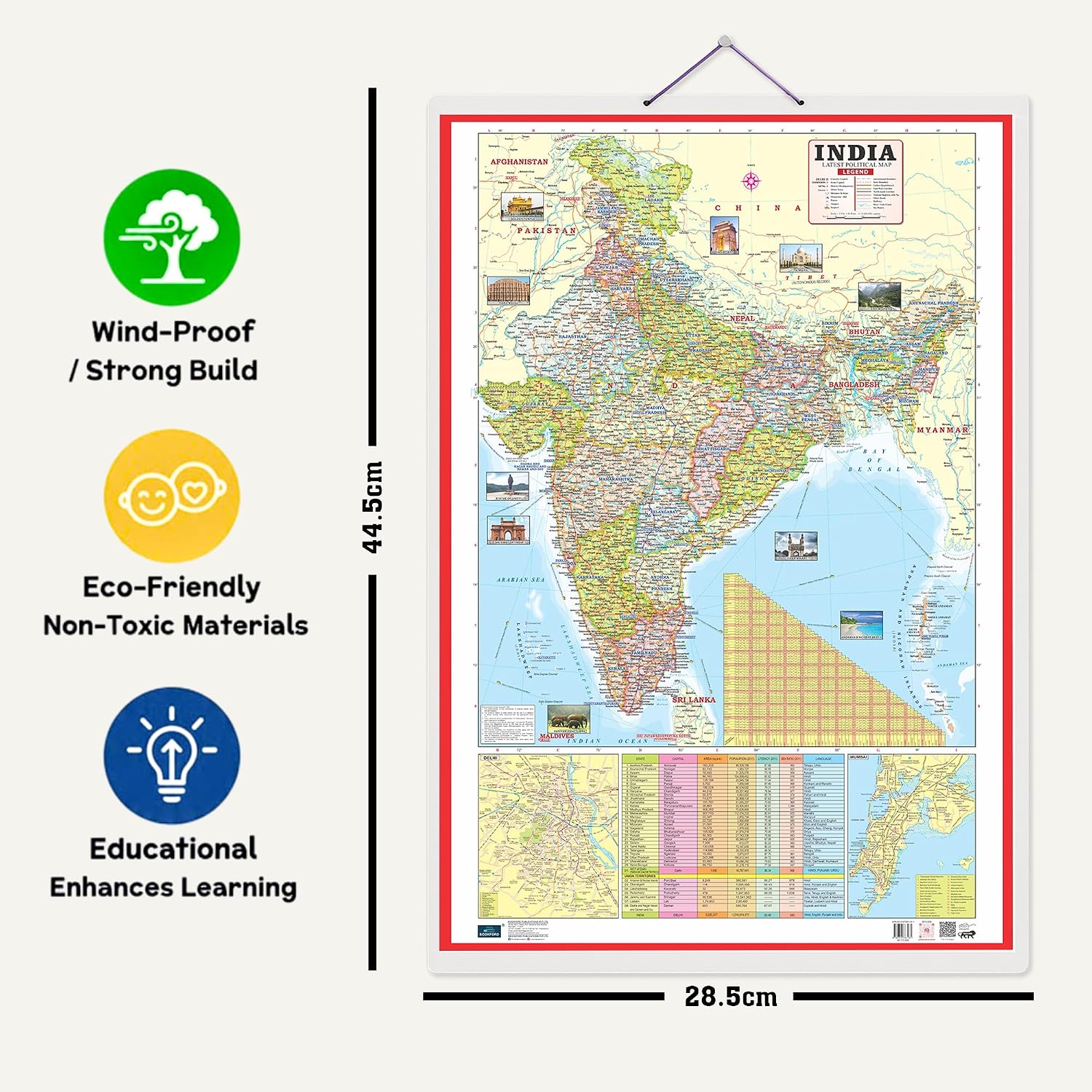
BOOKFORD PUBLICATIONS presents a premium set of 2 educational charts featuring the Indian Road Guide & Political Map and the World Political Map. These charts offer clear, easy-to-understand geographic and political information, making learning both engaging and effective.
The Indian Road Guide & Political Map highlights India’s extensive road network, including major national highways, state highways, and essential travel routes. It also displays a detailed political layout, showing state boundaries, capital cities, and important urban centers—making it perfect for understanding India’s road infrastructure and political divisions.
The World Political Map provides a complete view of global political boundaries. It depicts countries, national borders, capital cities, and major international cities, offering a meaningful way to explore the political geography of the world.
Both charts measure 20″ x 30″ inches and are crafted with high-quality materials for enhanced durability. Ideal for classrooms, study rooms, geography lovers, or anyone eager to explore India and the world through precise and vibrant visuals.
These charts combine clarity, detailed information, and attractive graphics to enrich geographical knowledge—perfect for study, travel planning, or general awareness.
Key Features:Made with 100% non-hazardous, child-safe material that supports creativity, self-confidence, and imagination.Sturdy and thick lamination provides better grip and long-lasting durability—ideal for homeschooling, kindergarten, and classroom use.Water-resistant lamination enhances product life, protecting the charts in humid environments and preventing water damage.Printed on premium, child-safe art paper with high-quality, vibrant visuals for a more attractive learning experience.Bigger, clearer fonts help children read easily, while detailed graphics spark curiosity and improve memory retention.


Reviews
There are no reviews yet.